We did a lot of driving today. We traveled west towards
Fairlplay, CO and passed through the high valley ranch lands to the small
(really really small) town of Como. In Como we left Highway 285 taking the Boreas Pass
Road. This is part of the Colorado Scenic Drive system and follows the old
Colorado Southern Railroad bed that originally linked Fairplay and Leadville. The
railroad closed in 1937, and the old rail bed was eventually converted to a gravel road
that provides a shortcut between Como and Breckenridge as well as access to
some historic sites. I should add that this road is usually closed in winter
due to snow cover. While the road is pretty rough in places, you could make the
trip in a passenger car, so if you are in the area give it a go.
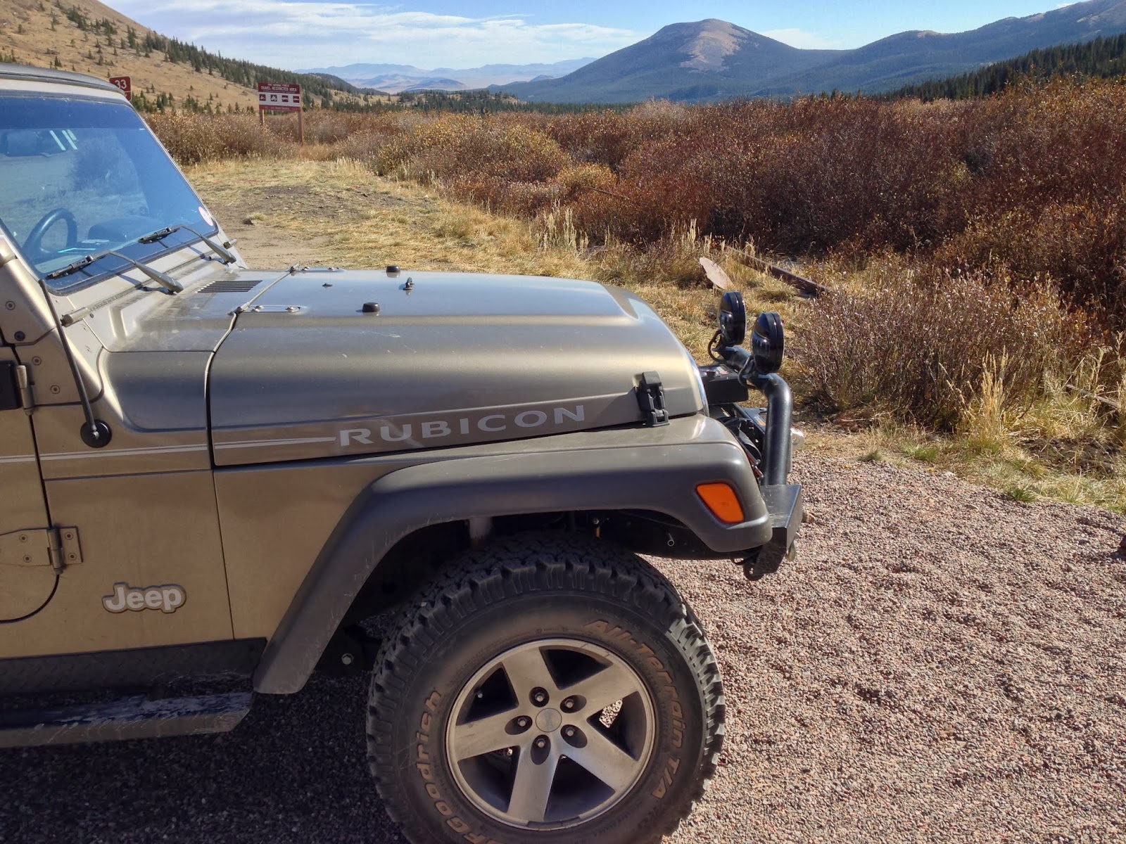
We stopped at the summit for a picnic lunch. Boreas Pass is
at an altitude of 11,497 feet along the Continental Divide.


Rain falling on the
west side of the pass ultimately runs to the Pacific, while rain on the east
side works it's way towards the Atlantic. Not wanting to mess up either body of
water I found a bush right in the middle.
We descended into Beckenridge, but we were so late in the
afternoon by then that we continued on back towards Colorado Springs.

Tomorrow we plan to stay local and maybe take in a movie.
Gravity is getting good reviews.
No comments:
Post a Comment